The adventure travel show weekend

This is the first time I’ve really hung out with Emma and its great to discover she is one of the nicest people you can meet and she has as daft a sense of humour as me.

En route with enough stuff to last us 3 months

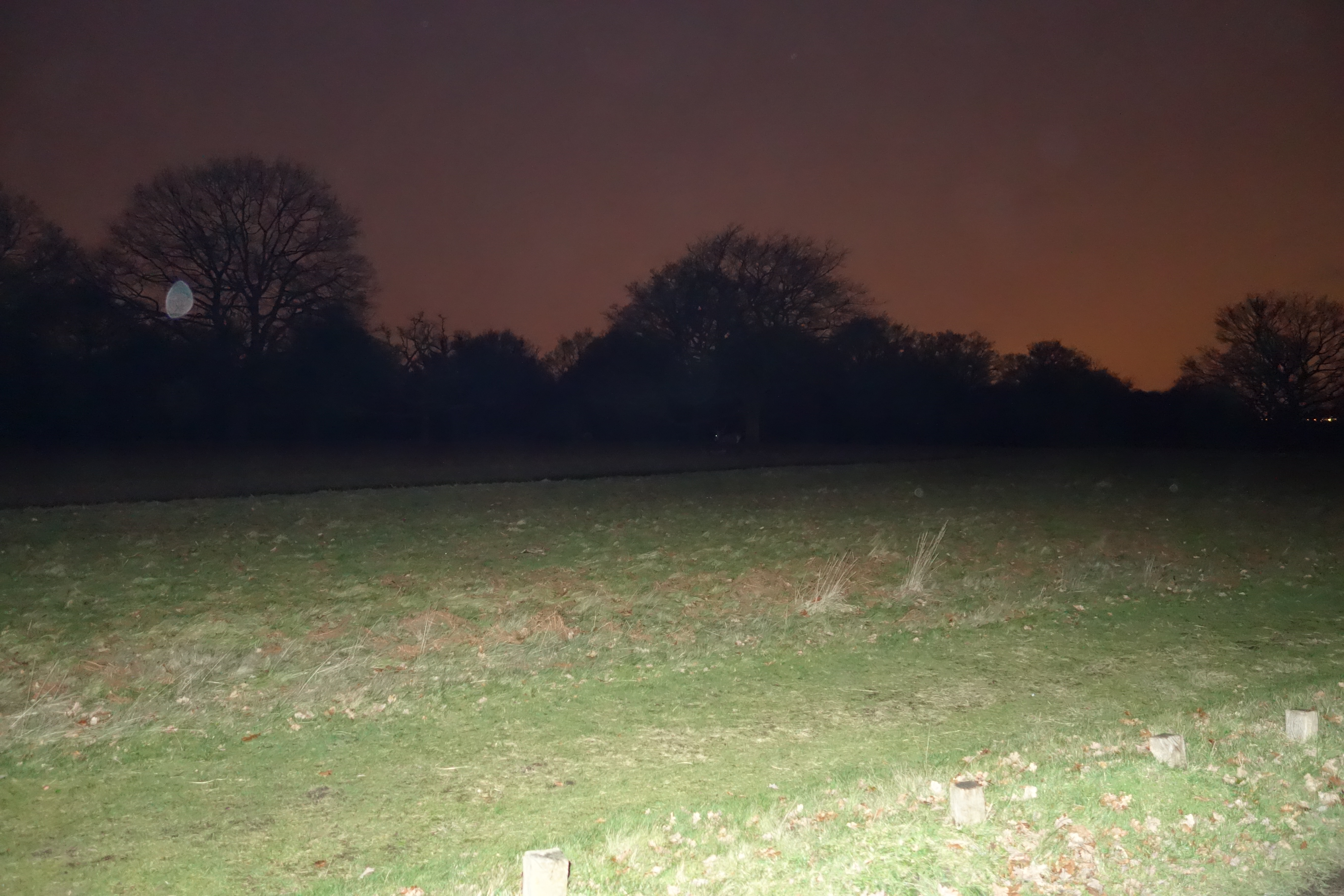
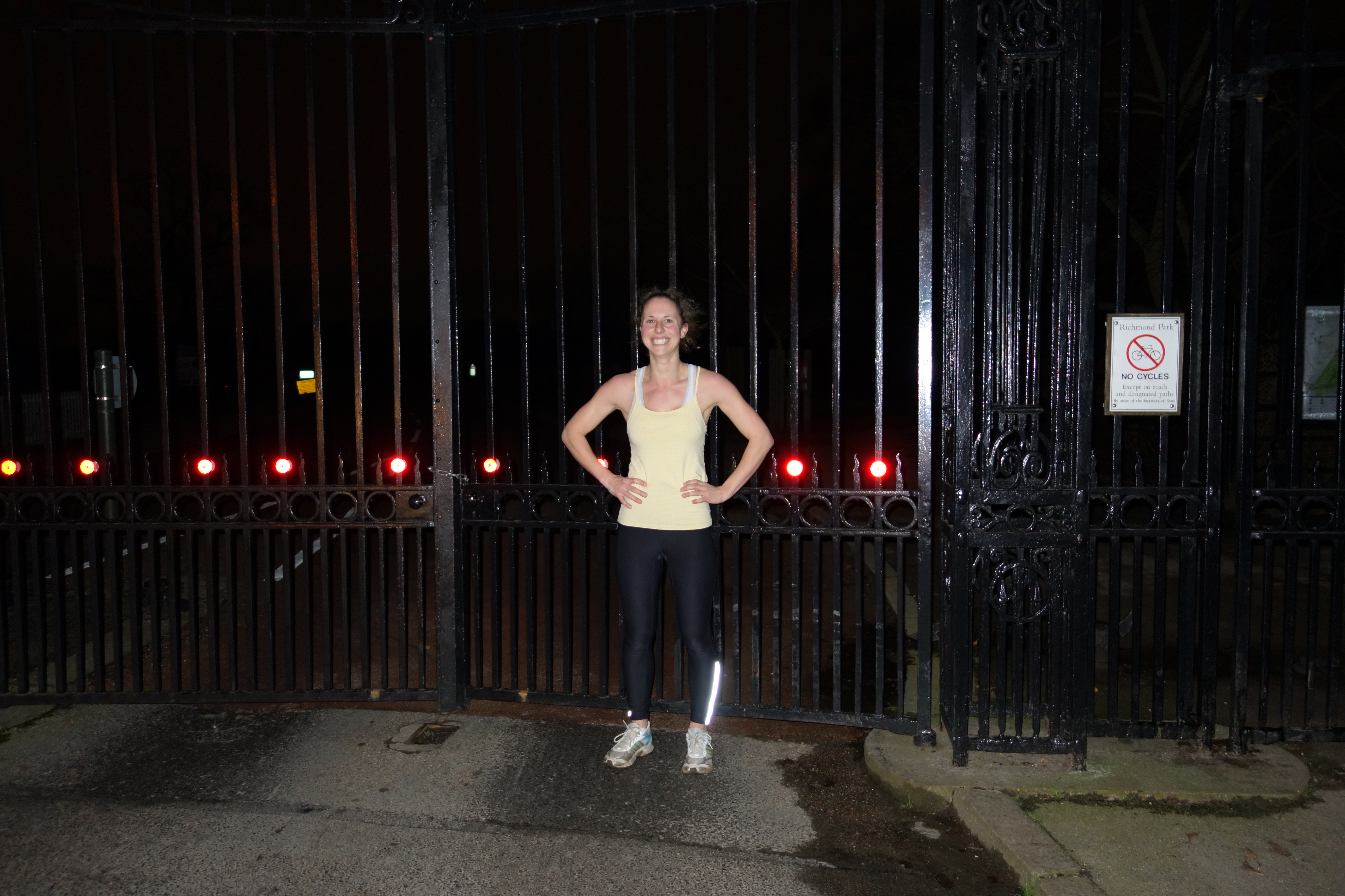
On Friday, we fitted in an 8 mile run round Richmond park in the dark.

Angelic Emma
Angelic Emma
Bouncy Emma
Bouncy Emma

It was peaceful and companionable. When the deer start to run across the road in front of us, we decided if a stag attacked us, we’d use the bicycle as a shield and hoped it wouldn’t wander off with the bike hooked on its antlers.

Deer in the dark
Deer in the dark
Zombie Emma
Zombie Emma
cold Emma, time for shower and dinner

********

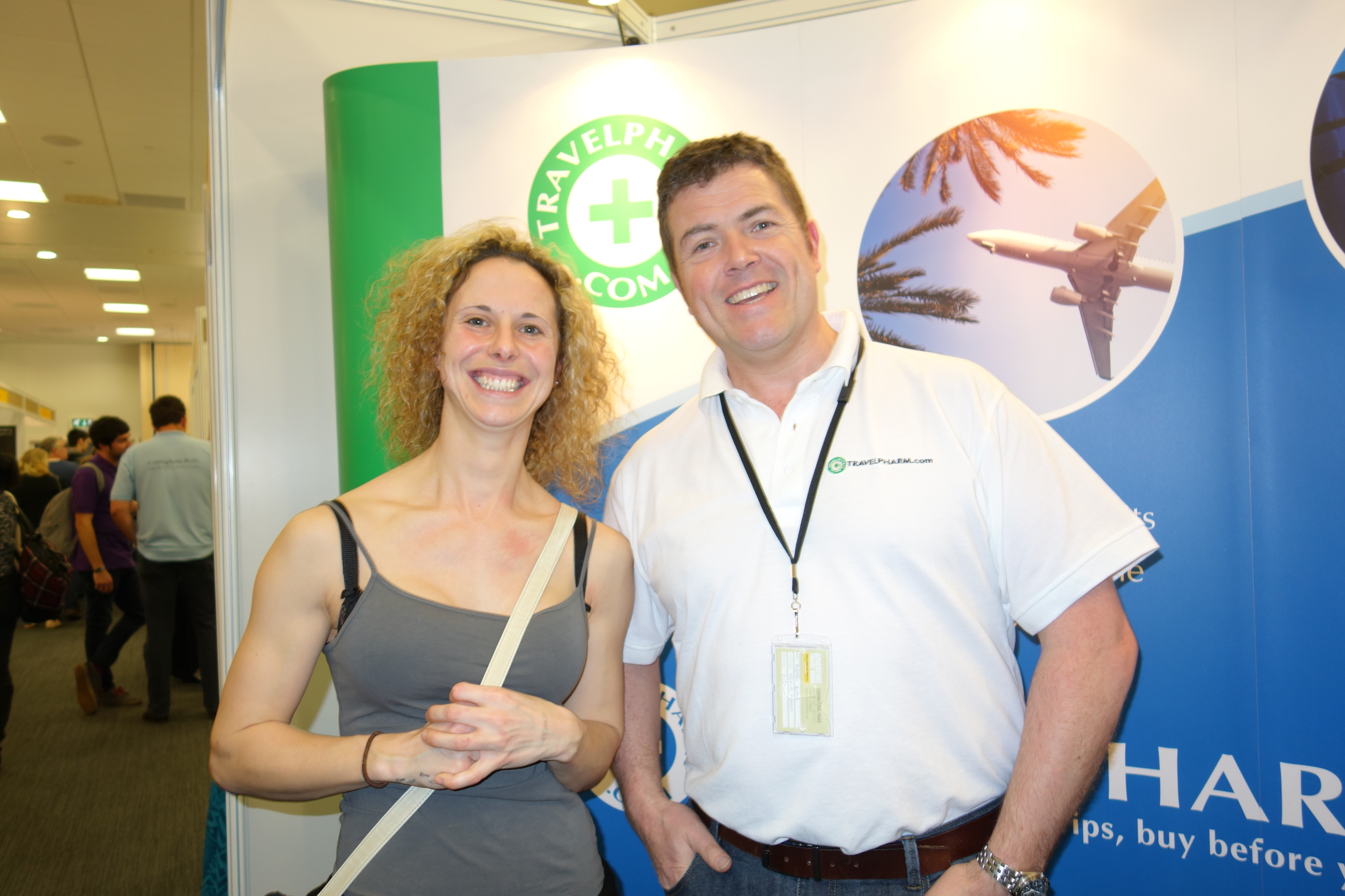
The adventure travel show, on Saturday and Sunday, was loads of fun. We met lots of experts in their field, passionate about their countries and jobs and technological developments. It’s a travel geek’s heaven. I’ll go into detail in later posts but inspired by the VBA I decided to give out awards:

Most supportive people award goes to Travel Africa. One of my favourite memories was walking up to the Travel Africa stall and the lady on the stall totally jumping on the story, wanting Emma to write an article and maybe some updates, and then they were incredibly helpful with advice and encouragement.

The most helpful person: frustratingly, we missed Doug McDonald’s presentation on Zimbabwe as the room was packed, so we went back the next day to speak to him. Doug, who runs a safari business, talked us through everything: which roads would be driveable; where we could camp; who we need to get permission from; and where wildlife will be a danger – in areas where elephants are hunted and shot, the elephants become fearful and will either run away or charge and kill us. When Doug said he would liaise with officials to get permission to go through certain areas, I nearly hugged him. And he had advice on how we might work with schools along the way.

Most eco-friendly product: Incognito – developed by a biochemist. It has every eco award going and it is clinically proven to be effective at deterring mosquitoes. We shall test it against midges in the summer before we go.

Most useful local titbit: goes to Drive Botswana for knowing that a particular side road in Zimbabwe is very rocky, we will get at least two punctures and its almost impossible to rescue a car if it needs towing out.

Best banter goes to Travel Pharm

Most interesting stall that had nothing to do with us: Pangaea Exploration. These guys work in marine conservation, documenting levels of plastic in the ocean. They take volunteers if you are interested.

Most freaky piece of information: came from Charlie McGrath, from Objective Travel Safety, who told us to watch out when we pack up our tents in the morning, as snakes will slide under the ground sheet to curl up beside you for your body warmth. I’ll be honest, I didn’t believe him, but my aunt tells me that my grandfather (or somebody like that) woke up to find a cobra wrapped round his feet. I can’t imagine the fear that will shoot through me if I wake up to find a snake cuddled up with me and really hope I don’t find out.

Most encouraging talk: Leon McCarron, for a talk that was honest about the mistakes they made, which made me feel a lot better about the mistakes I will make and have made. It’s all part of the adventure. I liked his comment, “once you relinquish control, that’s where it gets really exciting.”

At the Globetrotters Club who have already asked Emma for a talk on her return - now that's belief in us.
At the Globetrotters Club, which has already asked Emma for a talk on her return – now that’s belief in us!

********

Here they are
Here they are

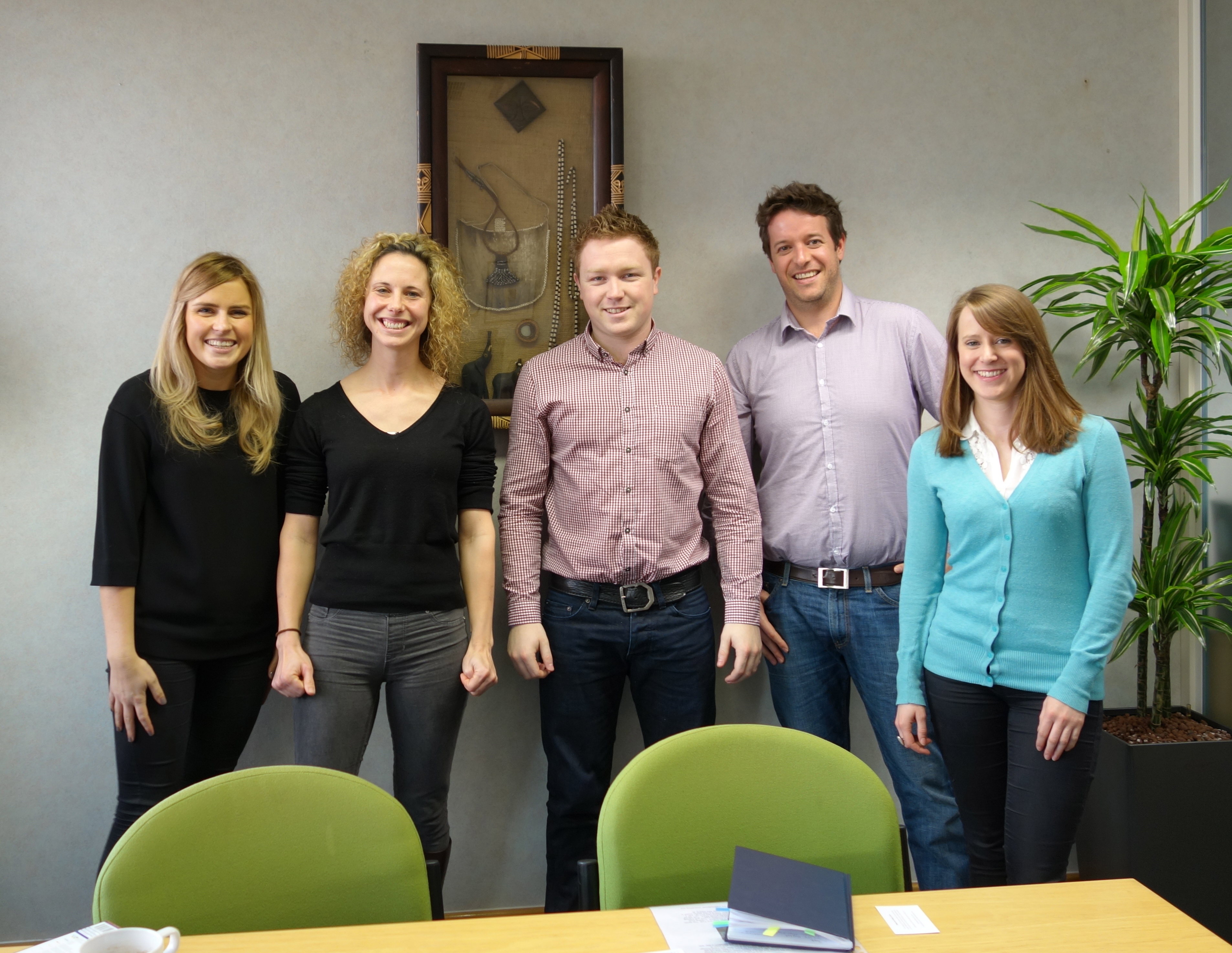
Then Monday morning we were up and off to Hills Balfour for a meeting with their PR team and Namibia experts. They were great. Providing us with advice and information and offering to put us in contact with the relevant people. Most of all though, it gave me the idea that I would love to make a little computer game of Emma running across africa, jumping over crocodiles and heading down dead ends. If anyone knows how to do this that would be amazing.

Afterwards, we popped into the Zimbabwe tourist board but they had gone to lunch so happily it was time to go home:

Sleepy Emma (a rare find)

A special thank you has to go to my lovely sister-in-law for letting us dump our stuff and shower after the run, Black and Blue waterloo for delicious free food, wine and cocktails (definitely recommend them), Emma and Ross for having us to stay in their living room and cooking us a delicious roast dinner, and my nieces and nephew for hugs and love.

Total cost: including train tickets, bus and tube travel, food, show entry and accommodation (free), approximately £120 each!

Route Plan A Part 2

We pass just below the Niassa Reserve which looks beautiful. Maybe we can visit it once the run is over. Shortly before Christmas.

Google maps and my map/information don’t agree much on this bit, so it’ll all be flexible as we go but the 242 comes up as an ‘all weather route‘ across the province. Really excited about going to Niassa. Its not somewhere I’ve heard much about.

The route plan A part 1

The rest of the route is planned too but Google maps and I are in disagreement whether there is a road to Mukumbura. Just checking this out and whether the border crossing is possible. According to Google: A to I is 2,494 km.

Mozambique Travel Warning

“The Foreign and Commonwealth Office (FCO) advise against all but essential travel to Sofala Province, with the exception of the provincial capital, Beira.

The Government of Mozambique has confirmed that a military operation, targeting the Renamo opposition party’s Santunjira base camp in Sofala Province, took place on 21 October.

The situation in Sofala Province remains tense and on 22 October there were reports of armed attacks in the region, including against a vehicle travelling on the EN1 road. Further attacks can’t be ruled out.”

They have had twenty years of peace and now, now, the country starts to develop civil unrest. Will push the run a little further north, maybe as far as Tanzania, and taking in Malawi. Might have to simplify the challenge to reaching the east coast, to give us the freedom to adjust as we go.

Emma’s knees and her route requests

My mother is worrying about Emma’s knees. She hasn’t met Emma but she’s worrying about her knees and threatening to not sponsor us … I promise to allow Emma days off.

Handily, Emma turns up at the climbing wall and we can chat about the route and her knees. I discover I have been wrong about her terrain preferences.

Gravel and sand – yes, tarmac – no more than a few kilometres. She likes up hills but running downhill is bad for her … knees. How am I supposed to get her up a hill and not down? Anna, who’s listening, suggests roller skates. Perhaps we should change the challenge to 3000km uphill, then we can justify putting her on a sledge to go down.

Emma: “Can we include Kilimanjaro? I quite fancy running up Kilimanjaro.”

Me: “Are you serious?”

Emma: “Yeah”

Me: “Ok, I’ll have a look”.

Fortunately, Kili is north of northern Tanzania, I estimate an extra 1000k detour and Emma agrees to go some other time. Phew!

Maps B

I’ve lost Zimbabwe again. I found it at 8.30pm and now it’s lost at 11pm. Rustling through layers of maps, it’s under Botswana. All the maps laid out end-to-end do not fit in the house. I am looking for a route that is comfy underfoot and flatish. There are snippets of information about road surfaces on Trip advisor and in Traversa, which I am now rereading as a guide for runners, highlighting words like ’gravel’.

According to the Lonely Planet guide there is a tempting ‘unexplored’ area in Eastern Botswana. It is more direct but few roads, which leaves us, potentially, a little stuck.

Maps A

Maps, I’m deep in maps (literally, they take up all the space and have to go on top of each other), and I’m worrying about political unrest, bad roads, dangerous animals and mines. Should we go north through the Caprivi strip or cut south beneath the Okavango delta? South means cutting across the top of the Kalahari Desert, through the middle of Zimbabwe and into Mozambique, onto the road which carries a warning from the Foreign Office. Alternatively, we could go through the Caprivi Strip. Hopefully, the bandits have disbanded and the lions will be well fed or very sleepy. But what happens when we reach northern Mozambique? How good are the little roads through the mountains? Is there still a risk of mines?

The route options are pinging back and forth. I call the Mozambique High Commission and email the Namibian Embassy and the Foreign Office.

The map shop: Stanfords

Stanfords is overly hot. Maps and books for Africa are in the basement. It could be the heat in the basement, but the information on the maps is making no sense at all. I collar a reluctant salesman who tells me that all the maps have a scale 1: x amount. The lower the second number, the more detailed the map. Landranger maps for the UK are 1:50 000 and Explorer Maps, used for trekking in the wilds of the UK, 1:25 000. The best I can find for Namibia is 1: 1 500 000! Easy to misjudge distances and the steepness of a mountain! On the plus side, I suppose, it does mean I get the whole of Namibia on one map, which makes for easier and cheaper planning.

Some maps have fences marked on them. I know. Are fences that permanent a structure in Namibia? Is the map that accurate? A friendlier salesman comes by. The fences are buffalo fences (and a controversial topic). He also explains that none of the maps are reliably accurate! Not reliably accurate!! I’m asking Emma to run a marathon a day but the occasional marathon might be a wrong turn!

The salesman advises that the “world mapping project” series are pretty good. Pretty good. I also buy a book on organising charity sponsored events. The nice salesman gives me a discount as I have BMC membership.

Nelles Map: Namibia £7.95

World Mapping Project: Botswana £9.50

World Mapping Project: Zambia £9.50

World Mapping Project: Mozambique/Malawi £9.50

The Ultimate Charity Challenge Handbook £0.50

Total £33.25 with discount